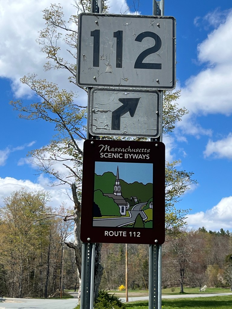
My plan was simple: Take a 54-mile drive through the rolling hills of western Massachusetts on an obscure scenic byway, Route 112. The designated byway begins just north of the Massachusetts Turnpike in the town of Huntington and meanders north, eventually ending at the Vermont border. But could I find it without a GPS? That would be the challenge for my latest New England road trip.
Getting to the Starting Line
The first — and arguably most challenging — step was to get to the beginning of Route 112. Taking the Massachusetts Turnpike wasn’t an option, (Remember, the rules for my road trips don’t allow any highway!) So I needed to find a workaround to get to the starting line.
It turns out the options for getting from Pascoag to Huntington, Massachusetts were not plentiful, and the only potential route didn’t offer much in the way of an enjoyable drive. I decided to think outside of the box.
On my road trip to Amenia, New York I drove through Granby, Connecticut. Getting to Granby was a pleasant 2-hour ride where I was able to traverse the Connecticut River without using a highway. With Granby as the starting point, I was able to find a perfect drive to Route 112. The only hiccup was that it required using a local connector road to get from Route 57 to Route 20. I chose a road that hugged the shoreline along the Cobble Mountain Reservoir.
Heading north out of Granby was a treat. The curvy road, passing by a number of a awaking farm fields on this early May morning, was just the tonic to get me in the mood for the main course, a road trip of discovery through the eastern Berkshire hills.
I crossed into Massachusetts and traveled west on Route 57 looking for the connector road I’d chosen, eventually turning onto Reagan Road, a narrow paved road drifting through a sparsely populated rural area. When the road turned to gravel, I had a fleeting thought that I should stop and re-evaluate my route. But then a small school bus passed by, so I thought there must be more homes down the road… right?
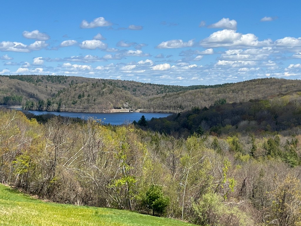
I continued on. The gravel road snaked through dense woodlands as it gradually gained elevation in the hilly terrain. An opening in the woodlands revealed a small farmhouse and large field extending along both sides of the road. The northern view from roadside was just what I had hoped for on this crisp spring day. White billowy clouds showcased a lake nestled in between the high hills, and dense stands of trees extending along the entire shoreline, though there was not a single other home in sight.
The gravel road narrowed significantly once I passed by the old farmhouse, and the decent along the bumpy trail included some gentle curves. I turned right at the bottom of the hill to make my way around the eastern side of Cobble Hill Reservoir. According to my map, I had about eight miles to go to reach Route 20. From that point, a short ride to my starting line — or so I thought.
No Reason to Panic
The drive along the shoreline was picturesque, to say the least. The gravel road seemed well maintained, even after a long and snowy winter, but it was a slow ride. It took about 20 minutes to travel the six miles from my initial turn onto Reagan Road.
As I came around a long gradual curve, I discovered why there were no homes along the shore of this pristine waterbody: A locked gate stretching across the road proclaimed that the reservoir served as the water supply for the City of Springfield.
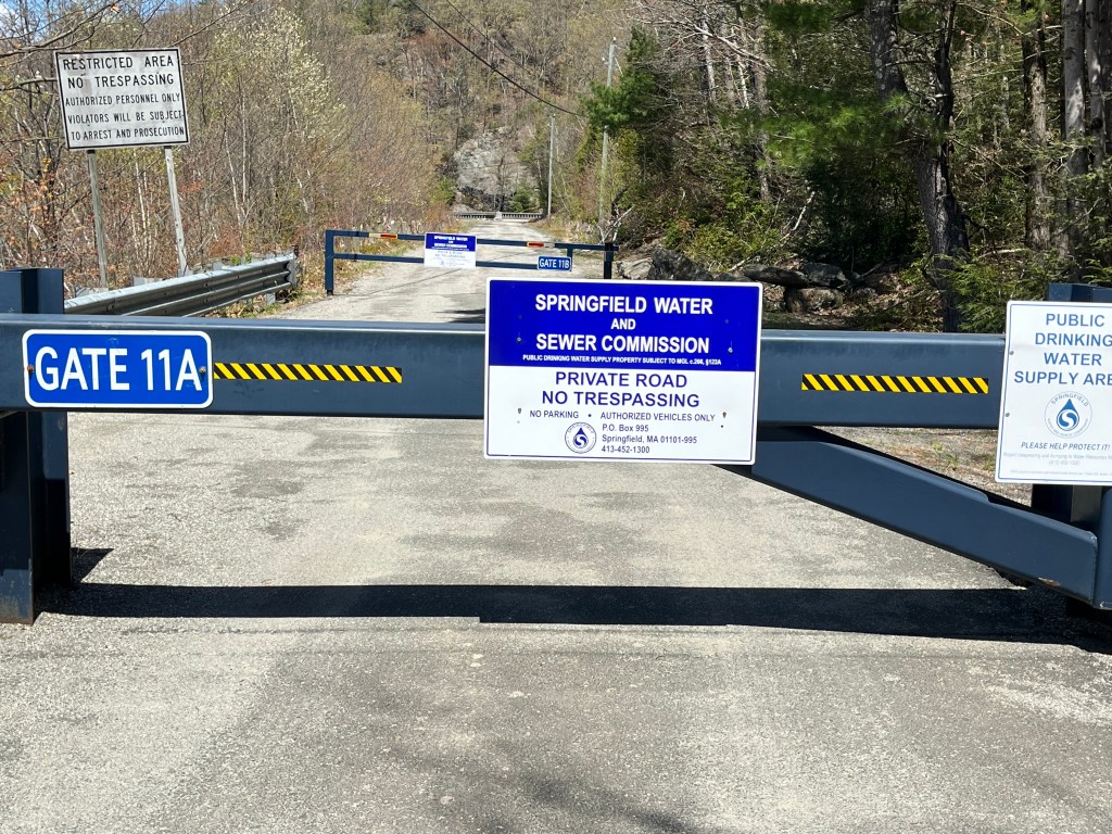
I had a decision to make: Should I turn around and head back the way I came, or use my map to find an alternative route around this roadblock?
According to my map, Wildcat Road was a short quarter-mile back. The gravel road snaked its way around Seymour Mountain, and a three-mile trek along this route should end at a paved road which connects to Route 20. I decided to go for it.
The drive along Wildcat Road had many steep grades and sharp turns, and I had to keep my eyes on the road to avoid perilous potholes. However, I finally found my way to a paved surface and got back on track to get to the start of my scenic byway.
Route 112 at Last
It was 2:00 p.m. by the time I pulled into a gas station in Huntington. The start of Route 112 was just a short distance ahead. At this point, I had already been on the road for over four hours and was desperately craving a coffee and some food.
The initial section of the byway, Worthington Road, hugs the shoreline of the Westfield River. The majority of the land between the river and Worthington Road is either state or federal conservation land. There are plentiful opportunities to pull off the road for a hike, picnic, or even kayaking.
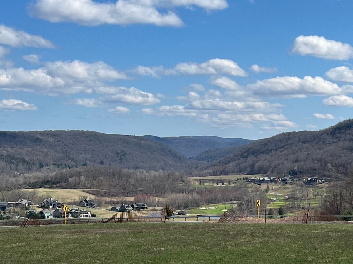
The views to the west along this stretch of the byway are stunning. Farm fields framed by forests that creep up the slopes of the Berkshire Hills. It would be a spectacular drive in October during leaf-peeping season.
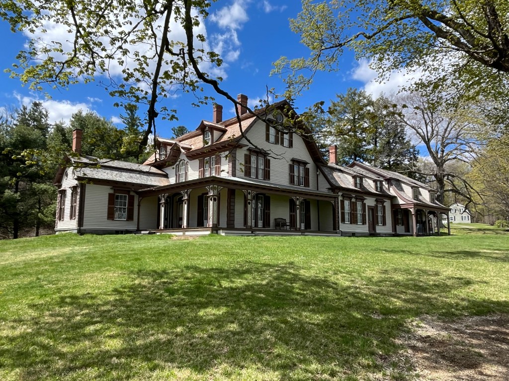
My first stop along the byway was a visit to the William Cullen Bryant Homestead. I’ll be honest: While I recognize him as 19th-century poet, I can’t recall any of Bryant’s works. However, his home in Cummington is a treat to visit, even if you’re not a poetry fan. The sprawling wood frame house sits regally on a hill and boasts a south-facing porch. Hiking trails crisscross the 195-acre site and are open to the public year-round from sunrise to sunset. The property is owned and maintained by The Trustees.
The home also serves as a museum dedicated to the life of Bryant. Colonial and victorian pieces, along with memorabilia from his world travels, are found throughout the first floor. However, you can only tour the home via reservation, which you can make on The Trustees website.
Covered Bridges, Anyone?
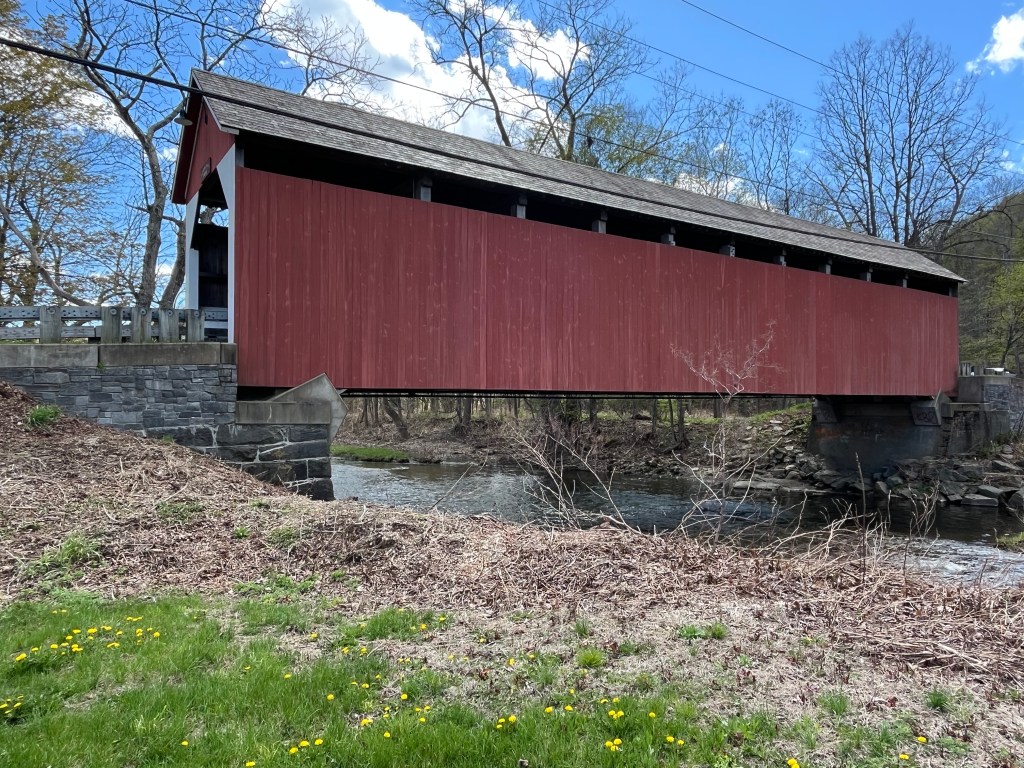
Before taking this trip, I hadn’t realized just how many covered bridges are still in use throughout New England. The Route 112 Scenic Byway offers travelers the chance to get an up close look at one of them: the historic Arthur A. Smith Bridge in Colrain. There’s signage that announces where to turn off the byway and an area to park adjacent to preserved public land, allowing visitors to walk along the bank of the North River and get a water’s eye view of the structure.
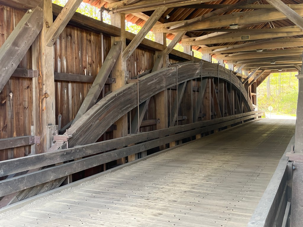
A plaque along the side of the road provides a comprehensive history of the bridge. It was constructed in 1868 and originally located downstream from its current location. The bridge carried traffic into the early 1980’s but eventually fell into disrepair and was closed to traffic. An exact replica of the bridge was built by the State Department of Transportation and reopened to traffic in 2020. The interior construction is an impressive sight.
Some Final Thoughts
One of the most impressive things about the drive along this scenic byway is the quality of the road. There were no potholes or rough pavement along the entire route, making it a smooth ride from start to finish. And did I mention the lack of traffic? I drove the entire 54-mile route on a Friday afternoon in early May with the road practically to myself. To say that traffic was sparse is an understatement.
I should point out that the rural drive doesn’t offer many opportunities for bathroom breaks. The best option is the Old Creamery Co-op, about one mile after the William Cullen Bryant Homestead. This combination ice cream stand, grocery store and cafe offers a well deserved respite after several hours of driving, and I am quite sure an ice cream cone would be a welcome treat on a hot summer day.
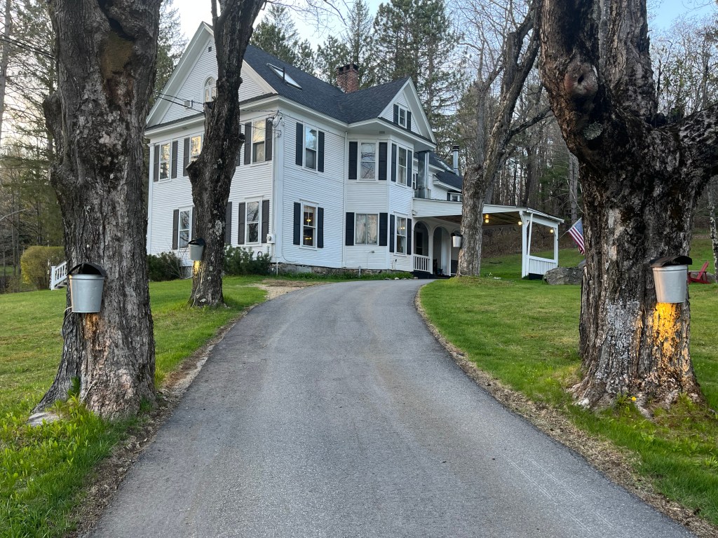
Route 112 doesn’t end at the Massachusetts border, either — it continues for about six miles into Vermont. For this road trip, I decided to have an overnight stay at The Wilmington Inn in Wilmington, Vermont, a bustling little village located just south of the Mt. Snow ski slopes.
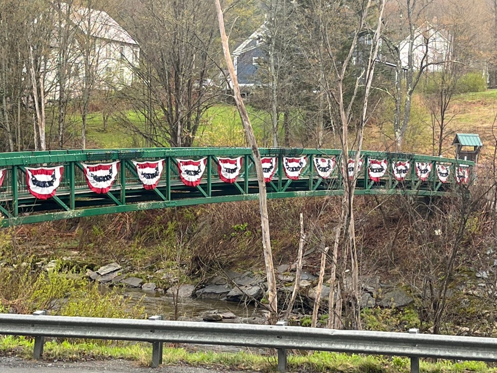
The village is an all-season hub for the recreational activities available in the Deerfield Valley of southern Vermont. It has the feel of rustic New England ski village with small shops tucked into old buildings along the main drag. Restaurants, coffee shops, small inns and a pedestrian riverwalk all add to the ambiance. It’s definitely worth staying overnight after your ride along the Route 112 Scenic Byway.




Leave a Reply